Our Food Map
Our Research is focused in building better digital tools and information for community organizations in the Montreal food system. Our primary publicly available output is our food map of Montreal.
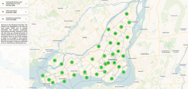
We have built a database of approximately 14,000 points for all locations in the food system in Montreal. This includes community food assets such as gardens and fresh food drop-off points as well as the conventional food system that includes restaurants, grocery stores, depanneurs, and more. This map is delineated by neighborhood for the entire island of Montreal. Click on the image below to see the full Montreal Food Map.
UPDATED: Fall 2019! Our new food map!
With new funding, we have developed a version 2.0 of our food map to highlight food assets in the island of Montreal. See below for a glimpse, which highlights the number of food assets, or food access points that contribute to an inclusive, healthy food system. The total number of food assets by borough in Montreal is inside the green circle. Click on the circle and it will bring you to a close up view of the borough. Zoom in further and the commercial sites, such as grocery stores, depanneurs, and restaurants appear.
Click on the photo to access our interactive map.

If you have difficulties with the image, you may also find it HERE.


